 |
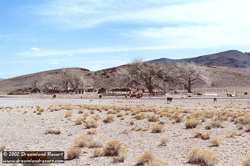
Cedar Pipeline Ranch is located about 22 miles northwest of Rachel. At this spot, just south of Reveille Peak, three large valleys connect: Kawich Valley in the south, Reveille Valley in the northwest and Railroad Valley in the northeast. A natural spring gives life to a group of trees, and makes this an excellent location for a ranch. There is even enough water here to form a couple of small ponds.
The ranch belongs to the Fallini family, who owns the grazing rights in Railroad Valley. The Fallinis operate a large ranch further north at Twin Springs, near the intersection of Hwy 375 and US-6.
Despite its excellent location Cedar Pipeline Ranch has been abandoned. Except for this "oasis" the surrounding desert is very dry, and fenced off on two sides by the restricted Nellis Range complex, limiting the available grazing land for the cattle. Nuclear fallout from the nearby Nevada Test Site may also be a reason. The NTS is where in the 1950's and 60's lots of surface nuclear tests took place, with little or no precautions to prevent the radioactive dust from spreading.
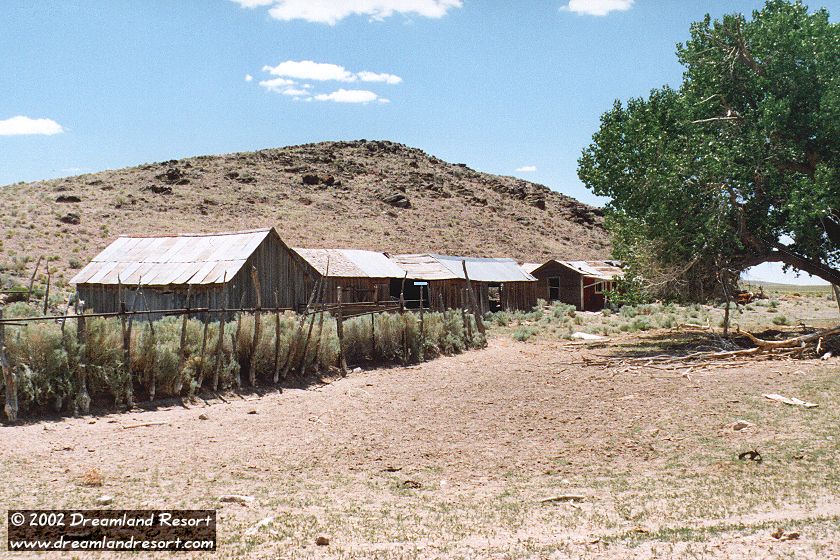
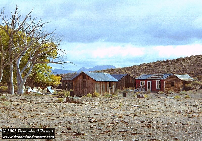
Most of the about half dozen wooden buildings are in pretty good condition, and are worth exploring if you are interested in ghost settlements. If you do so, please watch your step. The water and the shade from the trees still attract many cows, and even if you don't run into any you will encounter clear evidence of their frequent presence here.
There is a dirt road leading north from the ranch. It leads through Reveille Valley and after about 36 miles meets back with the E.T. Highway near Warm Springs. It is an interesting alternate route, but rough in parts and requires a 4WD vehicle.
From Rachel turn left onto Hwy 375 north. Follow it for about 15.4 miles. Then turn left on Cedar Road, heading west. Follow the paved road for 8.2 miles, and Cedar Pipeline Ranch will be on your left. Suitable for all cars.
For the curious: If you continue on Cedar Road for another 5.1 miles you get to one of the gates of the Nellis Range complex, a huge restricted military complex north of Las Vegas.
| Rachel | N 37° 38.801' | W115° 44.760' | ||
| Nye/Lincoln County Line | N37° 43.329' | W115° 53.671' | ||
| Queen City Summit | N37° 45.129' | W115° 56.733' | ||
| Cedar Road / Hwy 375 | N37° 45.959' | W115° 58.882' | ||
| Cedar Pipeline Ranch | N37° 45.200' | W116° 07.717' | ||
| Cedar Gate | N37° 44.567' | W116° 13.245' |
|
 |
 |