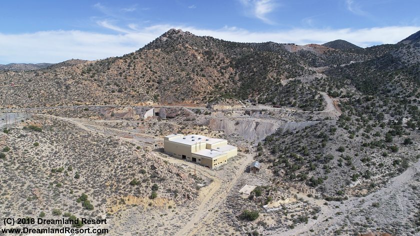
Tungsten ore was found on Tempiute Mountain east of today's town of Rachel in 1916. Additional deposits were discovered and large scale mining began in the 1930s, when a small mill was built. The Lincoln Mine Co. developed the Lincoln Mine in the 1940s and the mine prospered during World War II. After the war, in the late 1940's the Lincoln Mine shut down operations when the price of tungsten fell.
In 1950, when the price of tungsten rose, the Wah Change Trading Company re-opened the mine and incorporated the entire district under the name of the Black Rock Mining Company. Of the 66 active tungsten mines in Nevada, the Lincoln Mine was one of the nation's major producers of tungsten. Once again the price of tungsten fell in 1957, and the mine was shut down.
It was soon dismantled leaving bare foundations and remains of houses. For over 15 years the area became a ghost town again. Around 1976 the Union Carbide Co. re-opened the Lincoln Mine. Because of the availability of private land and water many miners settled in nearby Sand Spring Valley. In early 1978 power lines were installed from the mine to the settlement which soon became the town of Rachel. The Union Carbide mine closed the mine around 1987 when the price of tungsten once again fell.
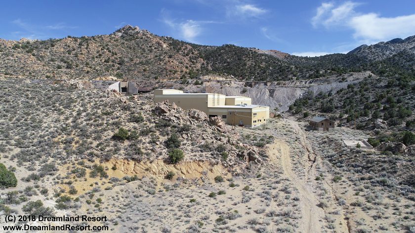
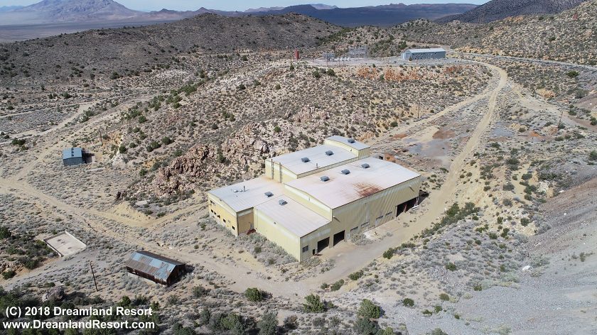
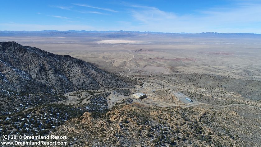
Since then several companies have looked into purchasing the mine and re-opening it for various purposes. But to the day of this writing in 2018 none of the plans have materialized. By now the existing infrastructure is in such bad shape that it is unlikely to happen.
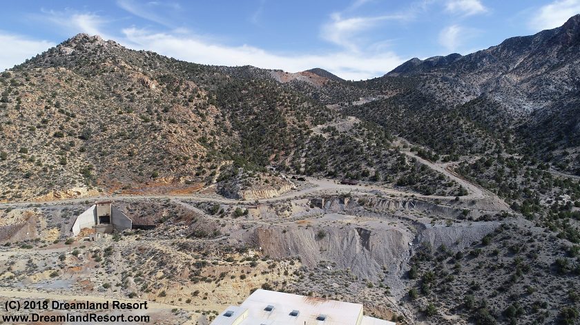
The mine is located on the north-east side of Tempiute Mountain. It is private property and off limits to the public.
 |
 |
 |
 |
 |
 |