Dry Lakebeds
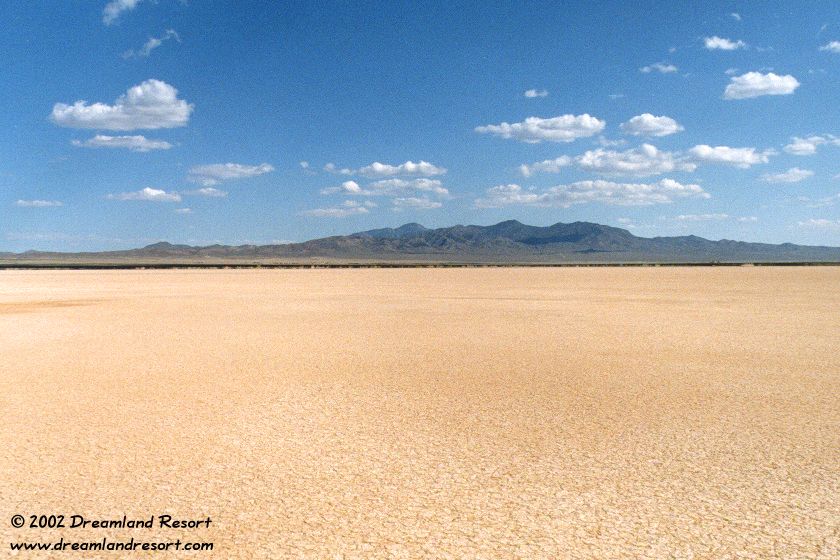
Sand Spring Dry Lake, 10 minutes north of Rachel. In the background you can see Rachel and the north end of the Groom Mountain Range. You can get to the lakebed on a dirt road past the old dumpsite. Cruising on the smooth surface is a lot of fun, but remember where you came in; the exit is hard to find once you are on the lakebed. The north end of the lakebed is a good place to look for arrowheads. [June 1999]
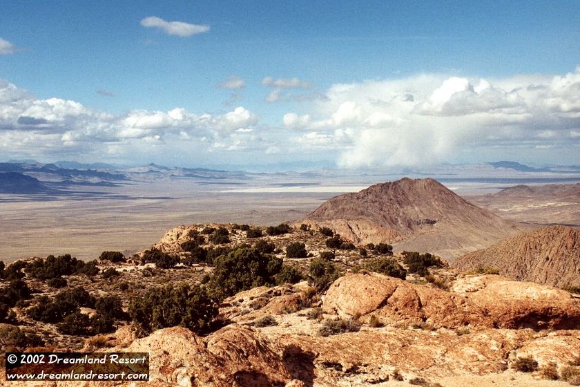
View from Flat Top (north of Queen City Summit) over Railroad Valley and the dry lakebed near the E.T. Highway. In the left background are some of the foothills of the Reveille Range. The lakebed is known among pilots as Bear Paw for its shape. As of Dec. 2013 it has been officially named Last Stand Lake. [October 2000]
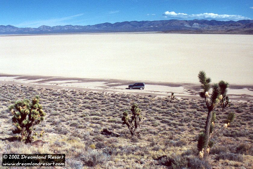
Delamar Dry Lake, east of Alamo, about 2 hours from Rachel. The surface of the lakebed is so smooth that it is used as an emergency airfield during military air exercises. It is known to pilots as Texas Lake because its outline resembles the state of Texas. [October 2000]
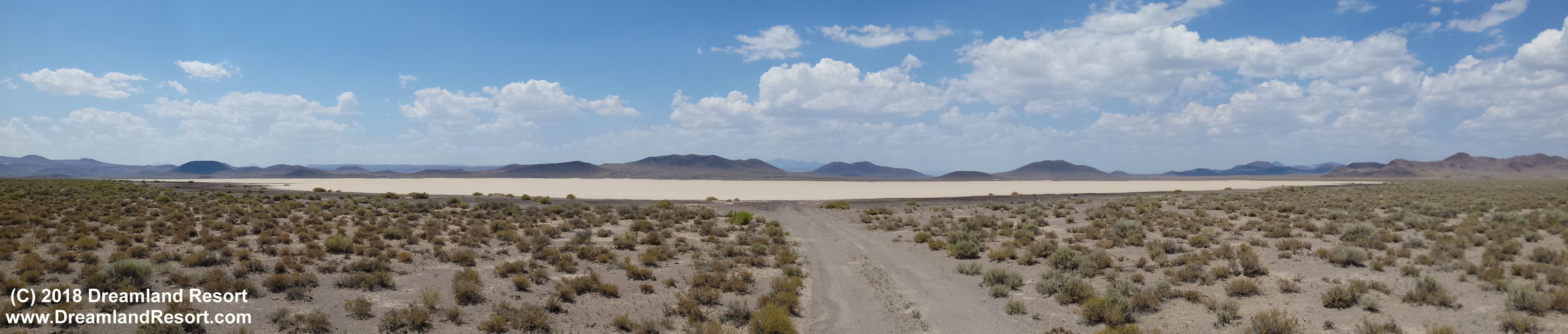
Lunar Lake near Lunar Crater, north of Warm Springs. Follow the signs to Lunar Crater and go past the crater for 6.5 miles to this road that opens onto the lake bed. Continue north on the main dirt road to get back to Hwy 6. [July 17, 2018, click to enlarge]
© Copyright 2002-, Rachel, NV Webmaster. All rights reserved. Copyright Policy Privacy Policy Page last modified 01/23/2023